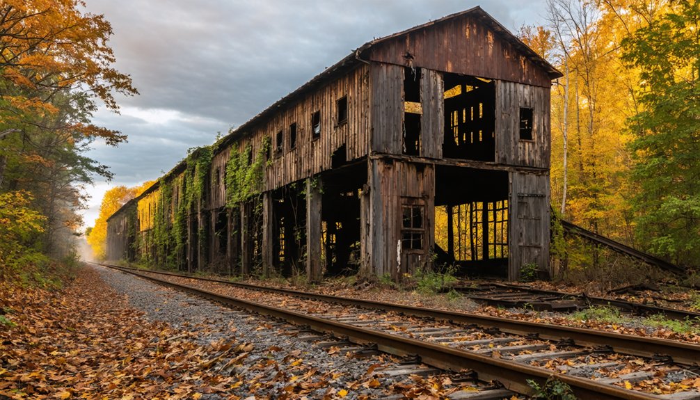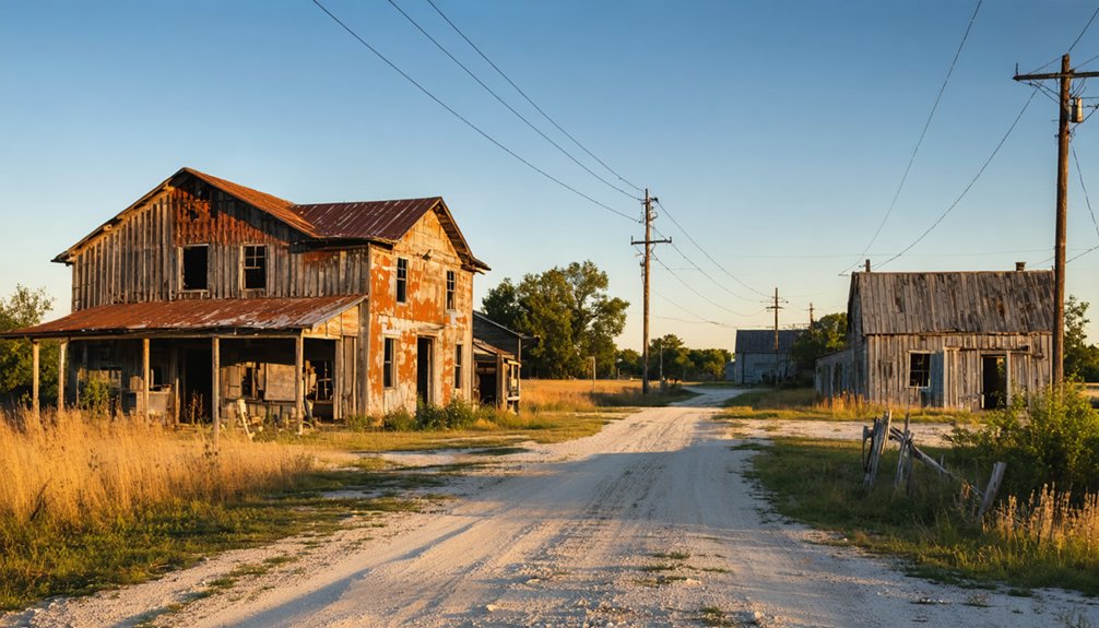
Randall, Indiana is a ghost town in Vermillion County’s Helt Township that vanished by the late 1800s, leaving behind little more than open farmland and faint traces of its past. You’ll find it near Dana, accessible via County Road 700 S, with the ghost town of Toronto just 1.6 miles southeast. Pack sturdy boots, offline maps, and plenty of water before you head out. There’s far more to this forgotten corner of Indiana than you’d expect.
Key Takeaways
- Randall, Indiana, is located in Vermillion County near Dana; use GPS coordinates 39°46′30″N, 87°31′21″W and County Road 700 S to access it.
- Start your trip from Dana to stock up on fuel and supplies before heading southwest toward Randall.
- Visit nearby Toronto, just 1.6 miles southeast, to experience a second ghost town in one trip.
- The best visiting seasons are late April–May and September–October; avoid July–August due to heat and humidity.
- Pack sturdy boots, water, offline maps, a first aid kit, and photography gear for this remote, unmarked site.
The Brief History Behind Randall, Indiana’s Disappearance
Nestled in Vermillion County’s Helt Township, Randall, Indiana once thrived as a mid-1800s settlement before fading into history. Named after the pioneering Randall family, the town carried real historical significance during its active years.
You can trace its roots to 1858, when the post office opened and connected residents to the wider world. But by 1872, that postal lifeline was cut, signaling accelerating population decline.
Without infrastructure holding people in place, settlers drifted toward neighboring communities like Dana to the northeast. By the late 1800s, Randall had gone completely silent.
Today, no municipal operations, public services, or active residents remain. What you’ll find instead is open land and a compelling story of how quickly a frontier community could rise, struggle, and ultimately vanish.
How To Get To Randall, Indiana
To reach Randall, Indiana, you’ll want to set your GPS coordinates to 39°46′30″N latitude and 87°31′21″W longitude. Using the nearby town of Dana to the northeast as your primary reference point.
Once you’re close, navigate toward County Road 700 S, which also connects you to the extinct town of Toronto just 1.6 miles southeast.
Keep in mind that rural Indiana roads in this area can be unpaved and uneven, so a vehicle with decent ground clearance will make your trip considerably smoother.
Starting Your Route
Reaching Randall, Indiana starts with setting your GPS coordinates to 39°46′30″N latitude and 87°31′21″W longitude, placing you within Helt Township in Vermillion County. From there, you’ll navigate rural roads connecting this forgotten settlement to the living world around it.
The town of Dana sits to the northeast, offering your best starting point for fuel and supplies before venturing out. Head southwest from Dana, keeping an eye out for County Road markers guiding you toward this silent stretch of Indiana countryside.
Local legends surrounding the Randall family settlers make the drive feel purposeful rather than aimless. Preservation efforts remain minimal here, so you’re fundamentally exploring raw history.
Embrace that freedom — no crowds, no tourist infrastructure, just open land and stories buried beneath the Midwest soil.
Once you’ve left Dana behind, nearby landmarks become your most reliable guides through this stretch of rural Indiana. Head northwest, keeping your eyes on the open farmland that stretches toward Helt Township.
You’ll want to reference County Road 700 S, since the extinct town of Toronto sits 1.6 miles southeast of Randall, effectively bookending your route.
Toronto’s ghostly presence connects deeply to local folklore, with both settlements sharing mirrored stories of mid-1800s decline. Use Toronto as your southeastern anchor point, then navigate northwest toward coordinates 39°46′30″N, 87°31′21″W.
Preservation efforts have kept historical records intact, giving you enough documentation to orient yourself confidently. The land feels deliberately forgotten, which makes every subtle geographic marker you spot along the way feel like a small, earned victory.
Road Conditions And Access
Getting to Randall means committing to rural Indiana’s unforgiving back roads, where paved surfaces give way to gravel and GPS signals grow unreliable.
You’ll navigate Helt Township’s County Road network, using Toronto’s position 1.6 miles southeast as your directional anchor.
Dana, the nearest active town to the northeast, serves as your last reliable fuel and supply stop before venturing out.
Don’t expect urban development here — that’s precisely the appeal. These roads haven’t been modernized, and preservation efforts have kept the landscape largely untouched since the late 1800s.
Drive a high-clearance vehicle when possible, particularly after rainfall.
Carry a physical map, since your phone will likely lose signal.
The isolation isn’t a warning; for freedom-seekers, it’s the destination’s greatest promise.
What’s Actually Left To See at Randall Today
When you arrive at Randall today, you’ll find an abandoned landscape that speaks quietly of its mid-1800s past, with undeveloped land stretching across the former settlement’s footprint.
You won’t encounter reconstructed buildings or a visitor center, but the area preserves a raw, unpolished authenticity that dedicated ghost town enthusiasts genuinely appreciate.
Keep your eyes open for historical markers and any remaining artifacts that hint at the community once named for the Randall family settlers who called this Vermillion County corner home.
The Abandoned Landscape Remains
Though Randall’s streets and structures have long since faded into the earth, you’ll still find a quiet, open landscape that carries the weight of its mid-1800s past. Urban decay here isn’t dramatic — there are no crumbling facades or abandoned structures piercing the skyline. Instead, you’re walking through open Indiana farmland where a functioning community once breathed.
That understated emptiness is exactly what makes Randall worth visiting. You’ll notice subtle land contours, overgrown patches, and the kind of silence that speaks louder than ruins. The coordinates — 39°46′30″N, 87°31′21″W — drop you into Helt Township’s flat terrain, where history lives beneath the soil rather than above it.
Bring your curiosity, because Randall rewards those who look beyond the obvious.
Historical Markers And Artifacts
Randall doesn’t hand you much to look at — and that’s exactly why knowing what to search for matters. Historical preservation here isn’t a museum experience; it’s a field exercise. You’re scanning overgrown lots, reading the land itself for foundations, fence lines, and depressions where structures once stood.
Artifact significance lives in the subtle details — a scatter of century-old brick, a property boundary that still follows original survey lines, a faded county road that once carried settlers toward Toronto just 1.6 miles southeast.
You won’t find interpretive signs or maintained markers. What you’ll find instead is raw, unfiltered history that rewards the curious and patient explorer. Bring a good map, respect private property, and let the landscape tell its story on its own terms.
Best Time of Year To Visit Indiana Ghost Towns Like Randall
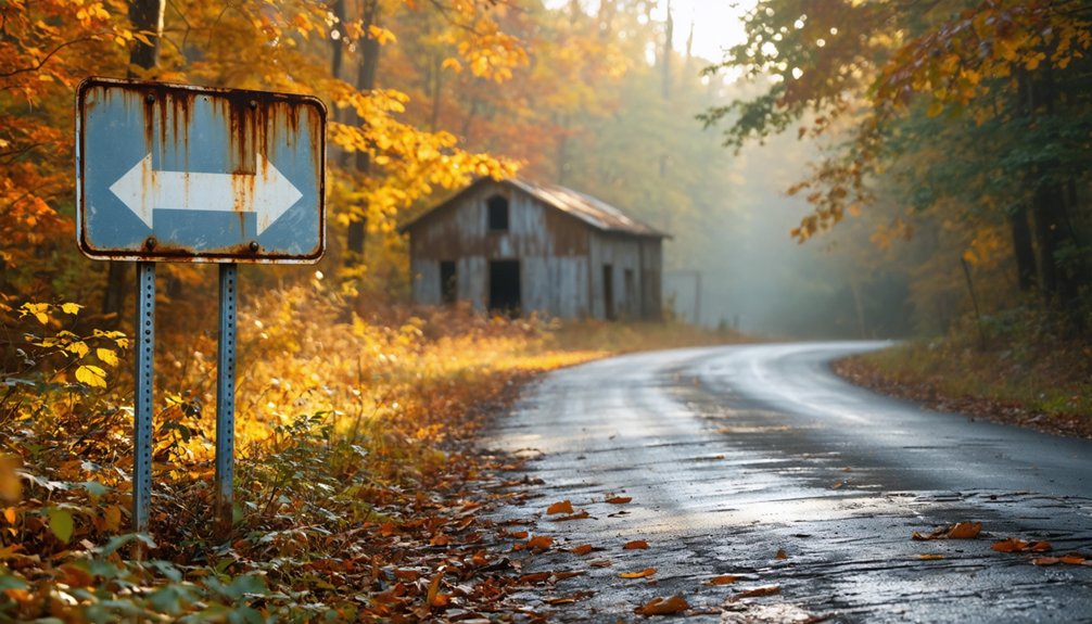
Timing your visit to Indiana ghost towns like Randall can make the difference between an atmospheric adventure and a miserable slog through mud or heat. Seasonal weather dramatically shapes your experience, while visitor crowds stay minimal year-round since few people seek these forgotten places.
Here are the four best windows for exploring:
- Late April–May – Mild temperatures, green landscapes, manageable trail conditions
- September–October – Crisp air, stunning fall foliage, golden-hour photography opportunities
- Early June – Long daylight hours before brutal Midwest humidity peaks
- February – Snow-dusted ruins create haunting visuals for adventurous cold-weather explorers
Avoid July and August when Indiana’s heat and humidity turn open-field exploration into an exhausting ordeal. Spring and fall give you freedom to roam comfortably.
What To Pack for a Ghost Town Road Trip
Packing smart separates a productive ghost town road trip from a frustrating one. You’ll want sturdy boots for uneven terrain around Randall’s former settlement grounds, plus layers for unpredictable Indiana weather. Bring plenty of water and snacks since no services exist nearby.
For photography tips, pack a wide-angle lens to capture expansive rural landscapes and a polarizing filter to cut glare on bright days. A tripod helps when shooting in low light during golden hour.
Support historical preservation by carrying a notebook to document observations without disturbing anything. Offline maps are essential since cell coverage gets spotty in Vermillion County’s rural stretches.
A first aid kit, portable charger, and extra fuel round out your kit for this remote Midwest adventure.
Nearby Ghost Town Toronto Makes a Perfect Detour
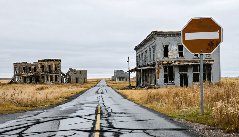
Once you’ve loaded up the car and you’re ready to roll, consider building Toronto, Indiana into your Randall itinerary. It’s just 1.6 miles southeast along County Road 700 S, making it an effortless detour for urban exploration enthusiasts.
Before leaving Randall, add Toronto, Indiana to your route — just 1.6 miles southeast along County Road 700 S.
Here’s why Toronto deserves a stop:
- Double the discovery – Two ghost towns in one trip maximize your cultural preservation experience.
- Easy navigation – County Road 700 S connects both sites without backtracking.
- Shared history – Both settlements thrived during the mid-1800s and declined together.
- Photography opportunities – Two distinct locations offer varied compositions and storytelling angles.
Both towns sit within Vermillion County‘s boundaries, so you’re staying in the same territory while doubling your ghost town experience. That’s freedom-driven travel done right.
More Vermillion County Ghost Towns Worth the Drive
Vermillion County doesn’t stop surprising you with just Randall and Toronto — the region holds additional forgotten settlements worth plotting on your map. As you drive through Helt Township’s back roads, you’ll encounter pockets of urban decay where foundations and overgrown lots hint at communities that once thrived.
Each site tells a distinct story of migration, ambition, and eventual abandonment. Preservation efforts throughout the county have documented several of these lost towns, giving modern explorers reliable historical context before they venture out.
You’ll want to cross-reference Indiana state archives and local Vermillion County historical texts to identify specific coordinates before hitting the road. Pack water, wear sturdy shoes, and respect private property boundaries — some of these sites sit on land still actively owned by local families.
Before You Go: Safety at Abandoned Sites
Ghost town structures have stood without maintenance for decades. Floors, stairs and roof timbers fail without warning, and a building that looks solid from outside may not hold your weight. Stay out of standing structures unless the site is actively maintained and open to visitors.
Mine workings are the more serious hazard. Vertical shafts can be hundreds of feet deep, are often unfenced, and may be hidden by brush or capped with rotted boards. Never enter an adit, tunnel or shaft: abandoned workings can hold oxygen-poor or toxic air that gives no warning before you lose consciousness.
Enclosed spaces with rodent droppings carry a risk of hantavirus, which is contracted by breathing contaminated dust. Do not sweep or stir up dust inside old cabins and outbuildings.
Cell coverage at these sites is usually poor or absent. Tell someone your route and expected return time, and carry more water than you think you need.
Frequently Asked Questions
Is a Permit Required to Visit Ghost Town Sites in Indiana?
Like open roads calling your name, you’re free to roam! Most Indiana ghost towns don’t have permit requirements or legal restrictions, so you can explore Randall’s historic grounds without bureaucratic barriers slowing your adventurous spirit down.
Are There Guided Ghost Town Tours Available in Vermillion County?
No official guided tours exist, but you’ll find historical preservation efforts and tourist attractions worth exploring independently. Chart your own path through Vermillion County’s ghost towns, embracing the freedom of self-guided discovery at your own pace.
Can You Metal Detect Legally at Randall’s Former Settlement Grounds?
You’ll need landowner permission before detecting at Randall’s grounds, as illegal relic hunting carries serious penalties. Securing private property access protects your freedom to explore responsibly, keeping this fascinating ghost town’s history intact for future adventurers.
Are Any Ghost Town Landmarks in Vermillion County Listed Historically?
You’ll find Vermillion County’s ghost towns, including Randall and Toronto, don’t feature officially listed historic landmarks or abandoned structures in state records, but they’re still worth exploring for their raw, untamed freedom and forgotten history.
Do Local Indiana Museums Display Artifacts From Randall’s Settlement Era?
Like buried treasure waiting to be uncovered, settlement artifacts from Randall’s era might shine in local museum exhibits. You’d want to explore Vermillion County’s historical archives and nearby Indiana museums for authentic mid-1800s discoveries.
References
- https://en.wikipedia.org/wiki/Randall
- https://kids.kiddle.co/Randall
- https://www.ghosttowns.com/states/ks/randall.html
- https://archive.org/stream/historyofrandolp00tuck/historyofrandolp00tuck_djvu.txt
- https://en.wikipedia.org/wiki/Category:Ghost_towns_in_Indiana
- https://en.wikipedia.org/wiki/List_of_ghost_towns_in_Indiana
- https://sites.google.com/site/hamiltoncountyhistory/home/cities-and-towns/randall
- https://indianacountyparks.org/our-trails/ghost-town-trail/ghost-town-trail-history/
- https://www.acgsi.org/besancon/chronicles/23.pdf
- https://www.numismaticnews.net/paper-money/hotz-off-the-press-notes-from-across-the-midwest