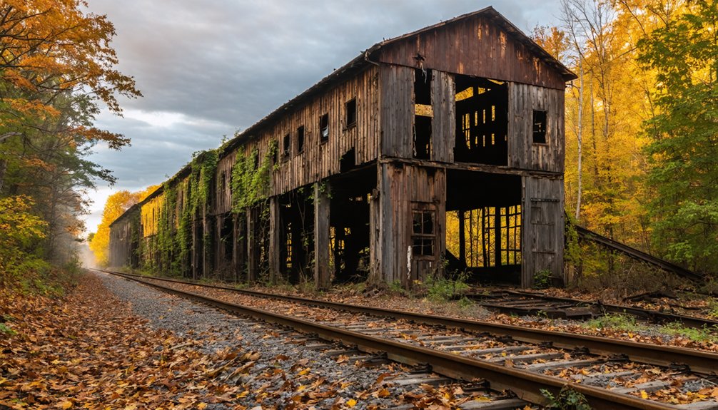
Planning a ghost town road trip to Sheff, Indiana means tracking down a place that’s virtually vanished from the map. You’ll find it in Benton County’s York Township using GPS coordinates 40.70556°N, 87.44917°W, northwest of Earl Park. Once a critical railroad junction where the New York Central and Big Four lines crossed, Sheff disappeared when the rails went quiet. There’s no signage, just open fields and faint infrastructure traces waiting to tell their story.
Key Takeaways
- Sheff is located at GPS coordinates 40.70556°N, 87.44917°W in Benton County, northwest of Earl Park, Indiana.
- Confirm legal access by contacting Benton County or township officials to avoid trespassing fines before visiting.
- Pack essential gear including sturdy boots, first aid kit, flashlight, water, GPS device, and a camera.
- Research Sheff’s history using Indiana State Library’s digitized county atlases and Indiana State Archives township records before your trip.
- Expect open fields and subtle railroad remnants rather than dramatic abandoned structures when exploring the site.
What Is Sheff, Indiana and Why Does It Matter?
Once a functioning railroad junction in York Township, Benton County, Sheff, Indiana now exists only as a set of GPS coordinates and a footnote in the state’s ghost town registry. You won’t find historic architecture or bustling streets here — just open land where an interlocking railroad tower once controlled the crossing of the New York Central and its Big Four subsidiary line.
That absence tells its own story. Sheff’s disappearance reflects a broader pattern of rural Indiana towns that declined alongside the railroads that built them.
Local legends surrounding forgotten junctions like this one add texture to what maps can’t show. If you’re drawn to places history quietly erased, Sheff gives you exactly that — raw, unpolished, and completely worth the detour.
The Railroad History That Built and Buried Sheff
Before the land fell silent, Sheff hummed with the controlled chaos of intersecting rail lines. An interlocking tower once stood here, managing the crossing between the New York Central railroad and its Big Four subsidiary, the CCC&StL line. That tower made Sheff a critical junction, not just a dot on a map.
When railroad traffic declined, Sheff lost its reason to exist. The tower’s removal erased the town’s most visible symbol of cultural significance, leaving almost nothing behind for curious travelers like you to examine firsthand.
Understanding this history deepens your appreciation for what’s been lost. Historical preservation efforts here are minimal, so you’re fundamentally reading a landscape stripped of its story. Knowing what once ran through this ground makes the silence louder.
What Remains at Sheff: Tracks, Fields, and a Missing Tower
Arriving at Sheff today, you’ll find the railroad tower gone and the silence doing all the talking. The interlocking tower that once controlled the New York Central and Big Four crossings has been completely removed, leaving behind open fields and faint traces of rail infrastructure.
You’re fundamentally standing on a page of local folklore, where stories of busy junction life have dissolved into overgrown landscape. Don’t expect dramatic abandoned structures here — Sheff offers something subtler.
The coordinates 40.70556°N, 87.44917°W will drop you into a quiet rural stretch northwest of Earl Park where imagination fills the gaps. Bring a historical map, study the land, and let the absence itself tell you everything about what railroad decline truly costs a small community.
How to Find Sheff Using GPS and Local Landmarks
Finding Sheff isn’t complicated if you’ve got the right tools. Lock in the GPS coordinates 40.70556°N, 87.44917°W, and you’ll land directly at this forgotten junction. Use Earl Park, Indiana as your anchor landmark — Sheff sits just northwest of it.
Follow these steps for a smooth navigation experience:
- Enter the exact coordinates into your GPS before leaving home.
- Drive northwest from Earl Park and watch for railroad remnants along flat farmland.
- Cross-reference historical county maps to understand the original town layout.
- Ask locals about urban legends and local legends tied to the old interlocking tower — you’ll uncover stories no map captures.
Once you’re there, the open fields and vanished tower speak louder than any urban legends you’ve heard beforehand.
Other Benton County Ghost Towns to Add to Your Route
While Sheff deserves its spot on your itinerary, Benton County and its surroundings hold more ghost towns worth tracking down. Dunn sits right within Benton County, offering another layer of rural abandonment to explore. Its quiet streets and faded history make it a compelling stop for anyone serious about historical preservation.
Don’t overlook Corwin, nestled near the Tippecanoe-Benton border. Local legends surrounding these forgotten settlements add real depth to your journey, turning a simple drive into something far more meaningful.
County records and historical maps help you piece together why these communities collapsed and what once made them thrive.
String these stops together on a single route and you’ll experience Indiana’s ghost town landscape in a way most travelers never do.
Before You Go: Access, Safety, and What to Bring
Before heading out to Sheff, you’ll want to confirm legal access to the site by checking with York Township or Benton County officials, since trespassing on private property can result in fines.
You should pack essential safety gear, including sturdy boots, a first aid kit, and a flashlight, because abandoned sites often hide hazards like uneven ground or debris.
Don’t forget to bring a printed historical map, your GPS coordinates, and plenty of water to make the most of your road trip.
Verify Legal Site Access
Checking legal access before you visit a ghost town like Sheff isn’t just a formality—it’s a necessary step that can save you from trespassing fines or unexpected confrontations with landowners. Much of Indiana’s abandoned landscape sits on private property, and historical preservation efforts rarely include open public access.
Before heading out, take these four steps:
- Contact Benton County offices to confirm land ownership around Sheff’s coordinates.
- Research any local legends tied to the site—locals often know who controls access.
- Check Indiana DNR and township records for permitted entry.
- Reach out directly to landowners for written or verbal permission.
Respecting boundaries keeps your adventure legal, preserves your freedom to explore, and protects these fragile historical sites for future travelers.
Essential Safety Gear
Once you’ve confirmed legal access to Sheff’s site, packing the right gear transforms a potentially risky visit into a safe, rewarding experience.
Sturdy boots protect your feet across uneven, overgrown terrain where railroad infrastructure once stood. Bring a first aid kit, water, and a fully charged phone with GPS coordinates loaded.
Wear long sleeves and pants to guard against insects and sharp debris. A flashlight proves essential if you’re exploring shadowed areas near former structures.
Carry a camera to document details that support historical preservation efforts and honor community heritage. Pack gloves for handling any surfaces safely.
A printed historical map adds valuable context to what you’re seeing. Respecting the site guarantees future explorers enjoy the same freedom you’re claiming today.
What To Pack
Gear protects you, but knowing exactly what to pack pulls the whole trip together. Sheff’s open terrain rewards the prepared traveler, especially if you’re combining railroad history with wildlife spotting along the rural roads of Benton County.
Pack smart with these four essentials:
- Printed historical maps and GPS coordinates (40.70556°N 87.44917°W) for pinpointing Sheff’s exact location
- Binoculars for wildlife spotting across York Township’s flat, open landscape
- Cash and a local dining guide so you can explore Earl Park’s local cuisine before or after your visit
- A fully charged power bank to keep your navigation and camera running all day
You’re chasing real history across open Indiana roads — pack light, pack right, and move freely.
Where to Find Sheff’s Original Maps and York Township Records
If you’re serious about tracing Sheff’s history, the Benton County Courthouse in Fowler, Indiana, is your best starting point for York Township records, including deed transfers, plat maps, and township administrative documents. These cartographic resources reveal Sheff’s original layout, property boundaries, and railroad corridor placements that no longer exist on the modern landscape.
For deeper historical preservation research, the Indiana State Library in Indianapolis holds digitized county atlases and surveyor maps dating back to the 1800s. You can access many of these remotely through their online portal before you even leave home.
Don’t overlook the Indiana State Archives, which stores township administrative records that document Sheff’s transition from active settlement to extinction. Cross-referencing multiple sources gives you the clearest, most accurate picture of what once stood there.
Frequently Asked Questions
How Many Total Ghost Towns Are Officially Documented Across Indiana?
You’ll find at least 41 ghost towns officially documented across Indiana, each hiding abandoned structures and haunted legends waiting to be explored. Researchers believe the true number stretches far beyond what’s currently recorded.
Are Any Indiana Ghost Towns Currently Submerged Underwater?
“Out of sight, out of mind” — but you’ll find two Indiana ghost towns aren’t forgotten! They’re drowned towns, now incredible underwater ruins and submerged landmarks, swallowed by new lakes and reservoirs, waiting beneath the surface for adventurous souls like you.
Was Sheff Ever Officially Incorporated as a Town?
The knowledge doesn’t confirm Sheff’s official incorporation status. You won’t find it among Indiana’s celebrated historic preservation sites or major tourist attractions, yet its fascinating railroad heritage makes it a compelling, freedom-calling destination worth exploring independently.
What Township Administratively Covers the Former Sheff Town Site?
Like a guardian of forgotten memories, York Township administratively covers Sheff’s former site. You’ll find historical preservation efforts minimal here, but it’s still one of Indiana’s unique tourist attractions worth exploring freely.
Is the Big Four Railroad the Same as Ccc&Stl?
Yes, they’re the same! In Sheff’s railroad history, the Big Four and CCC&StL are identical lines. Understanding this connection enriches your ghost town preservation journey, letting you appreciate the essential crossing that once defined this vanished Indiana community.
References
- https://en.wikipedia.org/wiki/List_of_ghost_towns_in_Indiana
- https://www.youtube.com/watch?v=MRckUdMUOPA
- https://kids.kiddle.co/List_of_ghost_towns_in_Indiana
- https://en.wikipedia.org/wiki/Sheff
- https://en.wikipedia.org/wiki/Sheffield_Township
- https://www.youtube.com/watch?v=484KsCOx0E4