To plan your ghost town road trip to Toronto, Indiana, set your GPS to 39.78167°N, 87.49556°W and head to Helt Township in Vermillion County along State Road 71. You’ll find weathered buildings, crumbling remnants, and the echo of a post office that served the community from 1838 until 1912. Check rural road conditions before you go, and come prepared for a quiet, remote experience — there’s far more layered history here waiting to be uncovered.
Key Takeaways
- Toronto, Indiana, is located along Indiana State Road 71 in Vermillion County, with GPS coordinates 39.78167°N, 87.49556°W for accurate navigation.
- Check rural road conditions before traveling, as weather can affect accessibility in this remote, countryside location near the Illinois border.
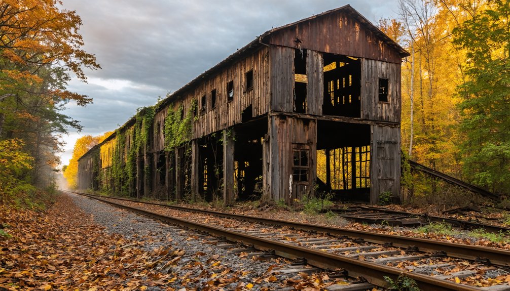
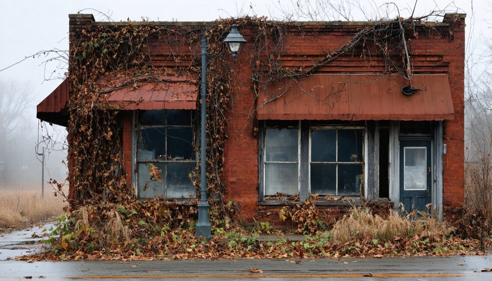
- Visible remnants include crumbling walls and weathered buildings, offering an authentic, unrestored glimpse into Toronto’s abandoned past.
- Toronto’s post office operated from 1838 to 1912, reflecting the town’s rise as a settlement and its gradual decline.
- Extend your trip by visiting nearby ghost towns like Conrad Station in Kankakee Sands for additional historical and photographic opportunities.
Toronto, Indiana: The Ghost Town on State Road 71
Tucked along Indiana State Road 71 near the Illinois border, Toronto is an extinct town in Helt Township, Vermillion County, that’s still worth tracking down. You won’t find a bustling downtown or welcoming locals — just a handful of surviving structures standing as quiet testimonials to historical preservation.
A handful of surviving structures stand as quiet testimonials to a town that time forgot.
The USGS still logs Toronto on official maps, giving it a strange legitimacy for a place that’s fundamentally vanished. Its post office opened in 1838 and shuttered in 1912, marking the town’s slow fade into obscurity.
Local legends likely fill the gaps where written records fall short. Use GPS coordinates 39.78167°N, 87.49556°W to pinpoint the site precisely.
It’s rural, raw, and unapologetically forgotten — exactly the kind of place that rewards independent explorers willing to leave the main road behind.
Toronto, Indiana Is Not Toronto, Canada: Here’s the Difference
When you’re planning a ghost town road trip, names matter more than you’d think. Toronto, Indiana sits in Vermillion County, tucked against the Illinois border on State Road 71. It’s a story of community abandonment, where postal services shut down in 1912 and residents scattered, leaving only a handful of structures behind.
Don’t confuse it with Toronto, Canada — an entirely different place on another continent. You’ll also want to skip past results referencing Indiana, Ontario, a separate ghost town inside Haldimand County, Canada.
Your destination is precise: coordinates 39°46′54″N 87°29′44″W, deep in rural Helt Township. The USGS still tracks this site, making historical preservation efforts more meaningful.
Get your coordinates right, and you’ll find the real thing.
How to Get to Toronto, Indiana in Helt Township
Getting there’s straightforward once you’ve confirmed you’re heading to Vermillion County, Indiana, and not anywhere in Canada. Set your GPS to 39.78167°N 87.49556°W and navigate toward Indiana State Road 71, which cuts through Helt Township near the Illinois-Indiana border.
Confirm you’re bound for Vermillion County, Indiana, then plug 39.78167°N 87.49556°W into your GPS and head toward State Road 71.
The drive itself rewards curious travelers. You’re approaching terrain that once supported a self-contained community, and the rural roads carry whispers of local legends tied to a town that quietly faded after its post office closed in 1912.
Road conditions reflect the area’s rural character, so plan accordingly.
Once you arrive, you’ll find a handful of surviving structures standing as historic landmarks against an otherwise open landscape. The USGS still marks this location officially, confirming you’ve reached the right place.
The Exact GPS Coordinates for Toronto, Indiana
Pinpointing Toronto, Indiana requires two verified coordinate sets that cross-reference the same location. You’ll find the town at 39°46′54″N 87°29′44″W in traditional degree-minute-second format.
For GPS devices, enter 39.78167°N 87.49556°W to reach the site with precision. Both sets confirm the same Helt Township position near the Illinois-Indiana border along Indiana State Road 71.
Geographic accuracy matters here because search results often pull up unrelated locations, including a separate ghost town named “Indiana” over in Ontario, Canada.
Don’t let that confusion derail your trip. Local history enthusiasts understand that Toronto, Indiana sits firmly in Vermillion County, nowhere near Canada.
Lock in those coordinates before you leave, verify Vermillion County specifically, and you’ll navigate directly to one of Indiana’s most quietly haunting roadside destinations.
What Toronto, Indiana Looks Like on the Ground
Once you arrive at the site, you’ll find a quiet stretch of rural Indiana where a few surviving structures stand as the only physical evidence that Toronto ever functioned as a real community.
These weathered buildings aren’t polished historical landmarks — they’re raw, unfiltered remnants of a town that simply faded away after its post office closed in 1912.
The surrounding landscape is open and unhurried, offering the kind of stillness that invites reflection.
Local legends likely shape how longtime residents remember Toronto, but on the ground, the story tells itself through crumbling walls and empty lots.
You’re standing at a genuine ghost town, still acknowledged by the USGS, yet largely forgotten by time.
Bring your camera, your curiosity, and respect for what remains.
The Surviving Buildings Still Standing at the Site
When you arrive at Toronto, Indiana, you won’t find a bustling town, but you’ll spot a few surviving structures still standing on the property. These remaining buildings serve as your most direct connection to the community that once operated here with its own post office and daily rhythms of rural life.
Treat them as physical evidence — tangible proof that a self-contained town existed here long before postal operations ceased in 1912.
Remaining Structures Overview
Although Toronto, Indiana has long faded into extinction, a few buildings still stand at the site, giving you tangible evidence of the community that once thrived here. These remnants of historical architecture offer a rare, unfiltered glimpse into a self-contained town that operated its own post office from 1838 until 1912.
When you visit these abandoned sites, you’re stepping directly into layers of forgotten history without crowds or barriers restricting your experience. The structures serve as the primary physical evidence confirming Toronto existed as a functioning settlement.
The USGS still recognizes the location, validating your trip as more than curiosity-driven wandering. Bring a camera, document what remains, and appreciate that these weathered buildings represent one of Indiana’s quietly disappearing chapters before time erases them entirely.
Buildings As Historical Evidence
That endurance makes them rare. Treat the site with respect—your visit helps justify why places like Toronto deserve continued recognition on official maps.
Toronto’s Post Office: Open 1838, Closed 1912

When you research Toronto’s history, you’ll find that the town established its own post office back in 1838, giving residents a crucial communication link to the outside world.
That post office kept running for over seven decades before permanently closing its doors in 1912.
You can read that closure as a clear signal that the population had shrunk to the point where sustaining postal operations simply no longer made sense.
Post Office Establishment Year
Toronto’s post office opened its doors in 1838, making it one of the earliest signs that this small Indiana community was built to last — though history had other plans. Establishing a post office carried real historical significance on the frontier — it meant the federal government recognized your settlement as legitimate and worth connecting to the wider world.
When you visit today, you’re walking ground that once hummed with residents sending and receiving letters, conducting business, and maintaining ties beyond Vermillion County. That postal link represented freedom of communication for everyday people carving out lives near the Illinois-Indiana border.
While preservation efforts can’t restore what’s gone, understanding this 1838 milestone gives you a richer appreciation for what Toronto once represented before its slow, quiet disappearance from active American life.
Postal Operations Final Closure
After 74 years of connecting Toronto’s residents to the outside world, the post office shut its doors permanently in 1912 — and that closure said everything about the town’s trajectory.
When you dig into Toronto’s postal history, you’ll find that a functioning post office signals a living, breathing community. Lose it, and you’re watching community decline in real time.
Getting There: Road Conditions in Helt Township
Since Toronto, Indiana sits in the rural stretches of Helt Township near the Illinois border, you’ll want to prepare for the kind of driving that comes with ghost town exploration. Indiana State Road 71 is your primary route, cutting through Vermillion County and delivering you directly to the site’s coordinates: 39°46′54″N 87°29′44″W. Load those GPS coordinates before you leave civilization behind.
Rural roads in this region can shift with seasonal weather, so check conditions ahead of your visit. The cultural significance of what remains here makes the effort worthwhile — a few surviving structures stand as quiet proof of preservation efforts that kept this site on official USGS maps.
Drive prepared, drive curious, and respect the remoteness that defines this forgotten corner of Indiana.
How to Confirm You’ve Found Toronto, Indiana
Pinpointing an extinct town takes more than a gut feeling, so you’ll want to cross-reference a few reliable markers once you arrive. Toronto’s historical significance lives in its details, so use these confirmation checkpoints:
- Coordinates match: Verify 39°46′54″N 87°29′44″W on your GPS.
- Road ID: You’re standing on or near Indiana State Road 71.
- County confirmation: Signage or maps should reflect Vermillion County, Helt Township.
- Surviving structures: Spot the remaining buildings that preservation efforts have left standing.
- USGS listing: Cross-check Toronto, Indiana in official USGS geographic databases.
If all five markers align, you’ve found your destination. Don’t confuse this site with Indiana, Ontario, Canada — they’re entirely separate locations. Confirm each detail, and you’ll know you’re exactly where you intended to be.
Other Ghost Towns Near Vermillion County Worth Combining
While Toronto, Indiana makes for a compelling destination on its own, you’ll get more out of your trip by combining it with other ghost towns scattered across the region. Head northwest toward Kankakee Sands, where Conrad Station offers its own ghost town legends and remnants of historic architecture worth photographing.
These forgotten communities share similar stories of post offices closing, populations dwindling, and streets falling silent. Since you’re already *steering through* rural Vermillion County roads, extending your route costs little extra time but rewards you with a richer sense of Indiana’s abandoned past.
Pack a detailed map, verify road conditions before leaving, and keep your GPS coordinates ready. Combining multiple sites transforms a single stop into a full day of genuine exploration through the region’s overlooked history.
Frequently Asked Questions
Is Toronto, Indiana Listed in Any Official Federal Geographic Databases?
Yes, you’ll find Toronto, Indiana actively listed in the USGS’s official geographic databases! It’s a recognized historic landmark, so you can confidently verify travel safety coordinates—39.78167°N, 87.49556°W—before hitting the open road.
When Did Toronto, Indiana First Establish Postal Services for Residents?
Like a lifeline stitched through the frontier, Toronto, Indiana’s postal service history began in 1838. You’ll find this historical settlement once connected residents through mail until operations permanently ceased in 1912, marking its quiet decline.
What Year Did Toronto, Indiana’s Post Office Permanently Stop Operating?
You’ll find that Toronto, Indiana’s post office permanently stopped operating in 1912, leaving behind historic landmarks and local legends that whisper of a once-thriving community you’re now free to explore and uncover yourself.
Is Toronto, Indiana Located Close to the Illinois State Border?
Oh, you’ve cracked the geographic code! You’ll find Toronto, Indiana sitting practically on Illinois’s doorstep, hugging the border near State Road 71, where historical landmarks whisper local legends of a once-thriving community you can’t ignore.
What County Specifically Contains the Ghost Town of Toronto, Indiana?
You’ll find Toronto, Indiana’s historical architecture nestled in Vermillion County! It’s one of Indiana’s fascinating tourist attractions, sitting in Helt Township near the Illinois border, where you can explore freedom’s forgotten past firsthand.
References
- https://en.wikipedia.org/wiki/Indiana
- https://www.youtube.com/watch?v=xH5bPsKIGnM
- https://www.reddit.com/r/Indiana/comments/116kx2q/ghost_towns_in_nw_indiana/
- https://en.wikipedia.org/wiki/Toronto
- https://kids.kiddle.co/Toronto
- https://streetsoftoronto.com/travel/5-ghost-towns-near-toronto-to-visit-this-halloween-season/