Addie Camp, SD
County:
Pennington
Zip Code:
Latitude / Longitude:
43°55′23″N 103°31′27″W / 43.9230423°N 103.5240808°W / 43.9230423
Elevation:
4,892 ft (1,491 m)
Time Zone:
Central (CST) (UTC-6)
Established:
1892
Disestablished:
1917
Comments:
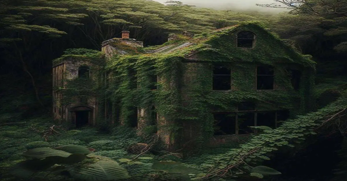
Addie Camp, also known as Kennedyville, Addie Spur, or Canadaville (USGS maps only), is a ghost town located in Pennington County, South Dakota, United States. It was a mining camp in the Black Hills. Addie Camp was named by the miners of the nearby Addie Mine. The later name “Kennedyville” came from the owner of the boarding house and saloon, Tom Kennedy. “Canadaville” is probably a corruption of “Kennedyville.”
Remains:
Addie Camp was settled by the miners of the nearby Addie Mine, which was run under the England-based Harvey Peak Tin Mining, Milling, and Manufacturing Company. The company mainly produced cassiterite from the Keystone-Hill City area. Another mine in the town, The Good Luck Mine, mined tungsten. In December 1892, the Grand Island & Wyoming Central Railroad built a line running from the town to the tin mill east of Hill City.
Current Status:
The mine never became successful, despite shaft and drift mining down to 800 feet. On February 25, 1900, the railroad extended to Keystone, causing the town to grow again. The town included a boarding house, saloon, platform station, and commissary car for railroaders. The town declined when, in June 1917, the railroad leading into the town was removed. This turned Addie Camp into a small farming community.
Remarks:
The former site of the town is in Pennington County, South Dakota, United States, and is located 2.7 miles east of Hill City. The elevation is 4,892 feet (1,491 m) above sea level. There are only a few ruined houses remaining, which are located on the north side of the former railroad tracks and along an old gravel road.
Albany, SD
County:
Lawrence
Zip Code:
Latitude / Longitude:
Elevation:
Time Zone:
Central (CST) (UTC-6)
Established:
Disestablished:
Comments:
Remains:
Current Status:
Remarks:
Allen’s Camp, SD
County:
Lawrence
Zip Code:
Latitude / Longitude:
Elevation:
Time Zone:
Central (CST) (UTC-6)
Established:
Disestablished:
Comments:
Remains:
Current Status:
Remarks:
Allerton, SD
County:
Lawrence
Zip Code:
Latitude / Longitude:
Elevation:
Time Zone:
Central (CST) (UTC-6)
Established:
Disestablished:
Comments:
Remains:
Current Status:
Remarks:
Alta, SD
County:
Pennington
Zip Code:
Latitude / Longitude:
Elevation:
Time Zone:
Central (CST) (UTC-6)
Established:
1870
Disestablished:
Comments:
Remains:
Current Status:
Remarks:
American City, SD
County:
Lawrence
Zip Code:
Latitude / Longitude:
Elevation:
Time Zone:
Central (CST) (UTC-6)
Established:
Disestablished:
Comments:
The exact location is unknown due to flooding that has destroyed all traces of the town.
Remains:
Current Status:
Remarks:
Anchor, SD
County:
Lawrence
Zip Code:
Latitude / Longitude:
Elevation:
Time Zone:
Central (CST) (UTC-6)
Established:
Disestablished:
Comments:
Remains:
Current Status:
Remarks:
Anchor City, SD
County:
Lawrence
Zip Code:
Latitude / Longitude:
Elevation:
Time Zone:
Central (CST) (UTC-6)
Established:
Disestablished:
Comments:
Remains:
Current Status:
Remarks:
Annie Creek, SD
County:
Lawrence
Zip Code:
Latitude / Longitude:
Elevation:
Time Zone:
Central (CST) (UTC-6)
Established:
Disestablished:
Comments:
Remains:
Current Status:
Remarks:
Ardmore, SD
County:
Fall River
Zip Code:
Latitude / Longitude:
43° 1′ 10″ N, 103° 39′ 23″ W
Elevation:
Time Zone:
Central (CST) (UTC-6)
Established:
Disestablished:
Comments:
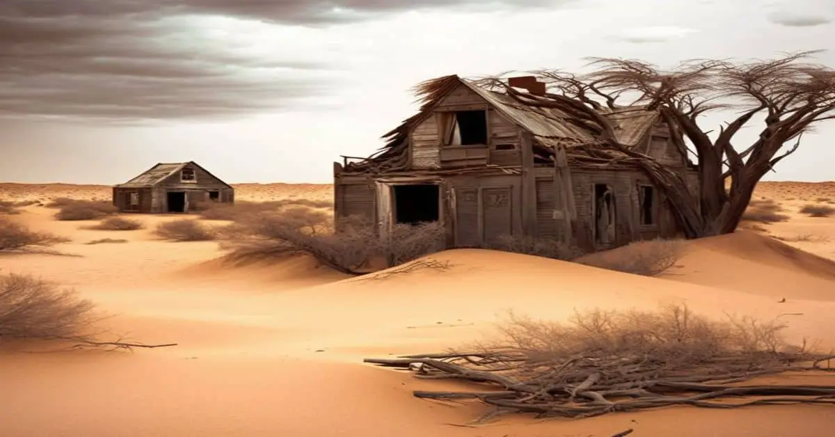
Ardmore is an unincorporated community in Fall River County, South Dakota, United States. The town was founded in 1889 by European-American settlers. In 1927, President Calvin Coolidge stopped in Ardmore.
Remains:
The town survived the Great Depression without one family on welfare. The decline of agriculture and the move of young people to other areas for work reduced the population. The last time the town had a recorded population was in 1980 when the 1980 census showed a population of 16 residents. The town is believed to have been derived from the name of Dora Moore, a local teacher. It is at an elevation of 3,556 feet.
Current Status:
Ardmore was featured in the May 2004 issue of National Geographic Magazine. The community is located approximately one mile north of the South Dakota-Nebraska border along with South Dakota Highway 71. It is located next to a stretch of BNSF railroad. Approximately 15-25 abandoned houses have survived at the site. The town sign is still standing. Among its former residents was the outlaw Doc Middleton. Ardmore celebrated a reunion on September 4, 2010, at the Ardmore Volunteer Fire Department.
Remarks:
Argyle, SD
County:
Custer
Zip Code:
Latitude / Longitude:
Elevation:
Time Zone:
Central (CST) (UTC-6)
Established:
Disestablished:
Comments:
Remains:
Current Status:
Remarks:
Arpan, SD
County:
Butte
Zip Code:
Latitude / Longitude:
44° 47′ 18″ N, 103° 38′ 57″ W
Elevation:
Time Zone:
Central (CST) (UTC-6)
Established:
Disestablished:
Comments:
Arpan is an unincorporated community in Butte County, in the U.S. state of South Dakota.
Remains:
Arpan was platted in 1910, and named for a local family. A post office called Arpan was in operation from 1911 until 1940.
Current Status:
Remarks:
Astoria, SD
County:
Lawrence
Zip Code:
Latitude / Longitude:
Elevation:
Time Zone:
Central (CST) (UTC-6)
Established:
Disestablished:
Comments:
Remains:
Current Status:
Remarks:
Athboy, SD
County:
Corson
Zip Code:
Latitude / Longitude:
45° 34′ 27″ N, 101° 55′ 22″ W
Elevation:
Time Zone:
Central (CST) (UTC-6)
Established:
Disestablished:
Comments:
Athboy is an unincorporated community in Corson County, in the U.S. state of South Dakota.
Remains:
A post office was established at Athboy was established in 1916, and remained in operation until 1944. The community was named by postal officials.
Current Status:
Remarks:
Atlantic City, SD
County:
Custer
Zip Code:
Latitude / Longitude:
Elevation:
Time Zone:
Central (CST) (UTC-6)
Established:
Disestablished:
Comments:
The exact location of the town and its mine are a mystery.
Remains:
Current Status:
Remarks:
Bakerville, SD
County:
Custer
Zip Code:
Latitude / Longitude:
Elevation:
Time Zone:
Central (CST) (UTC-6)
Established:
Disestablished:
Comments:
Remains:
Current Status:
Remarks:
Ball, SD
County:
Butte
Zip Code:
Latitude / Longitude:
Elevation:
Time Zone:
Central (CST) (UTC-6)
Established:
Disestablished:
Comments:
Remains:
Current Status:
Remarks:
Balmoral, SD
County:
Lawrence
Zip Code:
Latitude / Longitude:
Elevation:
Time Zone:
Central (CST) (UTC-6)
Established:
1897
Disestablished:
1910s
Comments:
Remains:
Current Status:
Remarks:
Bangor, SD
County:
Walworth
Zip Code:
Latitude / Longitude:
Elevation:
Time Zone:
Central (CST) (UTC-6)
Established:
Disestablished:
Comments:
Remains:
Current Status:
Remarks:
Bear Butte, SD
County:
Lawrence
Zip Code:
Latitude / Longitude:
Elevation:
Time Zone:
Central (CST) (UTC-6)
Established:
Disestablished:
Comments:
Remains:
Current Status:
Remarks:
Bear Gulch, SD
County:
Pennington
Zip Code:
Latitude / Longitude:
Elevation:
Time Zone:
Central (CST) (UTC-6)
Established:
Disestablished:
Comments:
Submerged under Pactola Lake. This was a stop along the Black Hills & Western Railroad. Not to be confused with the Lawrence County settlement by the same name. It is also called Elkhorn.
Remains:
Current Status:
Remarks:
Bear Rock, SD
County:
Custer
Zip Code:
Latitude / Longitude:
Elevation:
Time Zone:
Central (CST) (UTC-6)
Established:
Disestablished:
Comments:
Remains:
Current Status:
Remarks:
Beaver City, SD
County:
Lawrence
Zip Code:
Latitude / Longitude:
Elevation:
Time Zone:
Central (CST) (UTC-6)
Established:
Disestablished:
Comments:
Remains:
Current Status:
Remarks:
Bernardsville, SD
County:
Larence
Zip Code:
Latitude / Longitude:
Elevation:
Time Zone:
Central (CST) (UTC-6)
Established:
Disestablished:
Comments:
Exact location unknown, but is somewhere one-half mile east of the Wyoming state line.
Remains:
Current Status:
Remarks:
Besant, SD
County:
Lawrence
Zip Code:
Latitude / Longitude:
Elevation:
Time Zone:
Central (CST) (UTC-6)
Established:
Disestablished:
Comments:
Remains:
Current Status:
Remarks:
Big Bottom, SD
County:
Meade
Zip Code:
Latitude / Longitude:
44°35′08″N 103°31′22″W / 44.5855403°N 103.5226908°W / 44.5855403
Elevation:
2,995 ft (913 m)
Time Zone:
Central (CST) (UTC-6)
Established:
1878
Disestablished:
1887
Comments:
Big Bottom (1878–1887) is a ghost town in Meade County, South Dakota, United States of America.
Remains:
Big Bottom, South Dakota was founded in 1878 by Thomas D. Pryor. He built a two-story frame house for himself and added a dance hall and saloon, both of which became very well known to the locals. In 1880, a post office was established, and a school soon followed. However, the anticipated railroad bypassed the town, and in 1887, the store and saloon closed their doors.
Current Status:
Today, the town is completely abandoned, and little is left.
Remarks:
Big Bottom is located on the Great Plains in western Meade County, South Dakota. The only remaining structure is the basement foundation of Pryor’s house.
Bismuth, SD
County:
Custer
Zip Code:
Latitude / Longitude:
43°51′00″N 103°23′53″W / 43.8499883°N 103.3979684°W / 43.8499883
Elevation:
4,472 ft (1,363 m)
Time Zone:
Central (CST) (UTC-6)
Established:
Disestablished:
Comments:
Bismuth is a ghost town in the Black Hills of Custer County, South Dakota, United States.
Remains:
Bismuth existed around 1901 as a small community of half a dozen homes. It once included a store and a baseball team, but now only an old house remains of the town.
Current Status:
The site is now part of a campground and a manmade lake.
Remarks:
Bismuth is located in the Black Hills on the northern border of Custer County, South Dakota, United States. It was built just north of Iron Creek and is about 1.5 miles northwest of the ghost town Spokane, South Dakota, and 5 miles southeast of Mount Rushmore.
Black Fox, SD
County:
Pennington
Zip Code:
Latitude / Longitude:
Elevation:
Time Zone:
Central (CST) (UTC-6)
Established:
Disestablished:
Comments:
Remains:
Current Status:
Remarks:
Blacktail, SD
County:
Lawrence
Zip Code:
Latitude / Longitude:
44°22′12″N 103°45′37″W / 44.3699843°N 103.7601982°W / 44.3699843
Elevation:
4,777 ft (1,456 m)
Time Zone:
Central (CST) (UTC-6)
Established:
Disestablished:
Comments:
Blacktail (also known as Black Tail) is a ghost town in Lawrence County, South Dakota, United States. The name was collected by the United States Geological Survey between 1976 and 1980 and entered into the Geographic Names Information System on February 13, 1980.
Remains:
Blacktail was named for the black-tailed deer spotted by a settler near the townsite. Blacktail was an early mining camp in which some of the Homestake Mine’s mills operated. While the town flourished for a while, it eventually became a ghost town. It was located between Central City and Gayville, and in the area where Blacktail Gulch and Bobtail Gulch meet. The site has an elevation of 4,777 feet (1,456 m).
Current Status:
Remarks:
Bloomington, SD
County:
Brown
Zip Code:
Latitude / Longitude:
Elevation:
Time Zone:
Central (CST) (UTC-6)
Established:
Disestablished:
Comments:
Was destroyed by outlaws.
Remains:
Current Status:
Remarks:
Bluevale, SD
County:
Pennington
Zip Code:
Latitude / Longitude:
Elevation:
Time Zone:
Central (CST) (UTC-6)
Established:
Disestablished:
Comments:
Remains:
Current Status:
Abandoned
Remarks:
Bon Homme, SD
County:
Clay
Zip Code:
Latitude / Longitude:
Elevation:
Time Zone:
Central (CST) (UTC-6)
Established:
Disestablished:
Comments:
Remains:
Current Status:
Remarks:
Boughton, SD
County:
Lawrence
Zip Code:
Latitude / Longitude:
Elevation:
Time Zone:
Central (CST) (UTC-6)
Established:
Disestablished:
Comments:
Remains:
Current Status:
Remarks:
Boulder, SD
County:
Lawrence
Zip Code:
Latitude / Longitude:
Elevation:
Time Zone:
Central (CST) (UTC-6)
Established:
Disestablished:
Comments:
Remains:
Current Status:
Remarks:
Brashville, SD
County:
Lawrence
Zip Code:
Latitude / Longitude:
Elevation:
Time Zone:
Central (CST) (UTC-6)
Established:
1881
Disestablished:
1882
Comments:
Remains:
Current Status:
Remarks:
Brennan, SD
County:
Pennington
Zip Code:
Latitude / Longitude:
Elevation:
Time Zone:
Central (CST) (UTC-6)
Established:
Disestablished:
Comments:
Remains:
Current Status:
Remarks:
Buena Vista, SD
County:
Fall River
Zip Code:
Latitude / Longitude:
Elevation:
Time Zone:
Central (CST) (UTC-6)
Established:
Disestablished:
Comments:
Remains:
Current Status:
Remarks:
Buena Viste, SD
County:
Lawrence
Zip Code:
Latitude / Longitude:
Elevation:
Time Zone:
Central (CST) (UTC-6)
Established:
Disestablished:
Comments:
Remains:
Current Status:
Remarks:
Bugtown, SD
County:
Custer
Zip Code:
Latitude / Longitude:
Elevation:
Time Zone:
Central (CST) (UTC-6)
Established:
Disestablished:
Comments:
Remains:
Current Status:
Remarks:
Burdock, SD
County: Fall River
Zip Code:
Latitude / Longitude: 43°27′13.21″N 103°59′35.16″W / 43.4536694°N 103.9931000°W / 43.4536694
Elevation: 3,642 ft (1,110 m)
Time Zone: Central (CST) (UTC-6)
Established:
Disestablished:
Comments: Burdock is an uninhabited ghost town in Argentine Township in Fall River County, South Dakota. According to the Federal Writers’ Project, the origin of the name Burdock is obscure.
Remains: At this location is the intersection of Fall River County Highway 6463 (Dewey Road) and Township Road B (Argentine Road and Burdock Road). A BNSF Railway line parallels the county highway. In the county’s square mile designation, Burdock is closest to 103rd Avenue and 273rd Street. Burdock’s nearest neighbors are Dewey to the northwest and Edgemont to the southeast. The border with the state of Wyoming is three miles west, and the Black Hills National Forest extends around the site some three miles to the north, east, and south. The ghost town lies just to the southwest of the Elk Mountains, a small range that is part of the Black Hills. Burdock appears on the South Dakota highway map and the Black Hills National Forest map.
Current Status: Uranium was found in the area in 1952. It was first produced as early as 1954 by a local group known as Triangle Mining Co., a subsidiary of Edgemont Mining Co. Production consisted of a single, shallow open pit. Triangle Mining also drove an adit from both sides of an exposed ridge to mine a narrow orebody. In about 1960 Susquehanna Western Corp discovered shallow resources sufficient to warrant open-pit mining in five or six pits less than 100′ deep. Production is estimated to have been approximately 200,000 lbs of uranium oxide. In early 2012, Powertech (USA) Inc. (now called Azarga Uranium Corp.) submitted a proposal to the U.S. Bureau of Land Management to begin mining again.
Remarks: